Malaysia launches geospatial vehicle pilot for disaster and defence operations
The dedicated vehicle brings together drones, electric motorcycles and specialist equipment previously deployed separately.
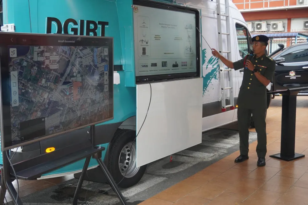
Malaysia has introduced a pilot vehicle equipped with geospatial tools to help teams gather field information faster for disaster management, defence and security operations, Deputy Minister of Natural Resources and Environmental Sustainability Syed Ibrahim Syed Noh said on October 29.
The Department of Survey and Mapping Malaysia (JUPEM) developed the Defence Geospatial Information Rapid Team (DGIRT) vehicle with the Malaysian Armed Forces (ATM). Syed Ibrahim discussed the project at Wisma Perwira after launching Defence Geospatial Day 2026.
He said the dedicated vehicle combines equipment that had previously been used without a single vehicle bringing it all together. Some of those instruments were deployed during the landslide in Batang Kali, Selangor. The combined tools, including drones and electric motorcycles, would allow more accurate assessments at disaster locations, he said.
According to Syed Ibrahim, experience from earlier disasters and the operational requirements of agencies, including the National Disaster Management Agency, helped shape the project.
He also launched the Defence Geospatial Information Management initiative under the 13th Malaysia Plan. It aims to improve how defence-related geospatial information is managed, combined and shared. He said further development of geospatial capabilities would include artificial intelligence and exploration of Environmental Intelligence.