Indonesia develops satellite tool to identify landholders at fire sites
The BNPB platform combines satellite images and concession records, with findings shared to support permit assessments and possible enforcement.
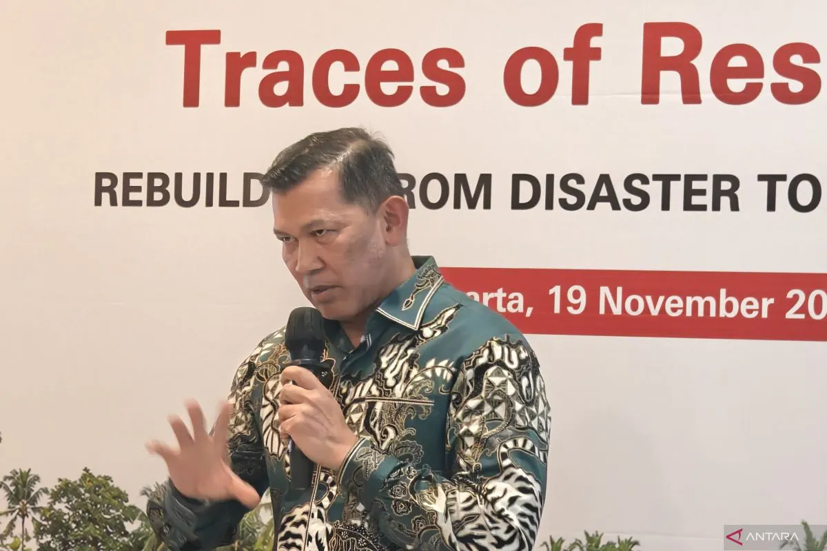
Indonesia is developing a monitoring platform to identify landowners where forest and land fires occur, using satellite images matched against concession records. National Disaster Mitigation Agency (BNPB) head Kristomei Sianturi said it enables real-time detection and identification.
At the Traces of Resilience discussion in Jakarta, Sianturi said the land records come from the Ministry of Agrarian Affairs and Spatial Planning and National Land Agency (ATR/BPN). The platform can identify concession holders and display burned acreage, hotspot counts and past records.
Its maps separate community forests beyond concession boundaries from cultivation rights (HGU) land, industrial plantation forests and mining sites. Hotspots found during the preceding two hours appear in purple; areas already burned appear in white.
Sianturi said thousands of hotspots had repeatedly been detected around company concession boundaries. That pattern could point to suspected clearing or expansion through burning, he said, with dry weather and strong winds posing a risk of bigger fires.
Regional authorities and the forestry and environment ministries receive BNPB's data to assist reviews of company permits. Enforcement agencies are also given the findings for checks on the ground and possible legal proceedings.
BNPB's Directorate of Operations Control operates the platform, which also assesses flood threats and issues early warnings. Sianturi said deployments in South Papua and North Sumatra's South Tapanuli District allow regional disaster agencies to check risks and notify residents.